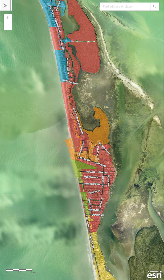
Map of the Apportionment Model
CEPD Technical Policy Director, Daniel Munt, crafted an interactive map utilizing the ARCGIS system that displays the tentative apportionment model, under consideration by the CEPD Board, as would be assessed across Captiva properties. The application has been embedded on the CEPD website so that all property owners may conveniently search for their estimated assessment.
The map of the apportionment model is searchable by address or STRAP number. Please follow the below steps to take the best advantage of the map
- To view individual property data, click on the desired property and all values will be displayed in a pop-up.4
- In an instance where multiple parcels are selected, click the arrow on the pop-up to navigate to the intended selection.
- The legend can be viewed by clicking the “>>” button in the top left corner of the map.
- Zoom in and out by clicking the “+” and “-” buttons under the legend view.
- Click “View Larger Map” at the bottom of the page to open the application in a new tab
Click HERE to view the map


